
Road casualties
Road casualty mapping
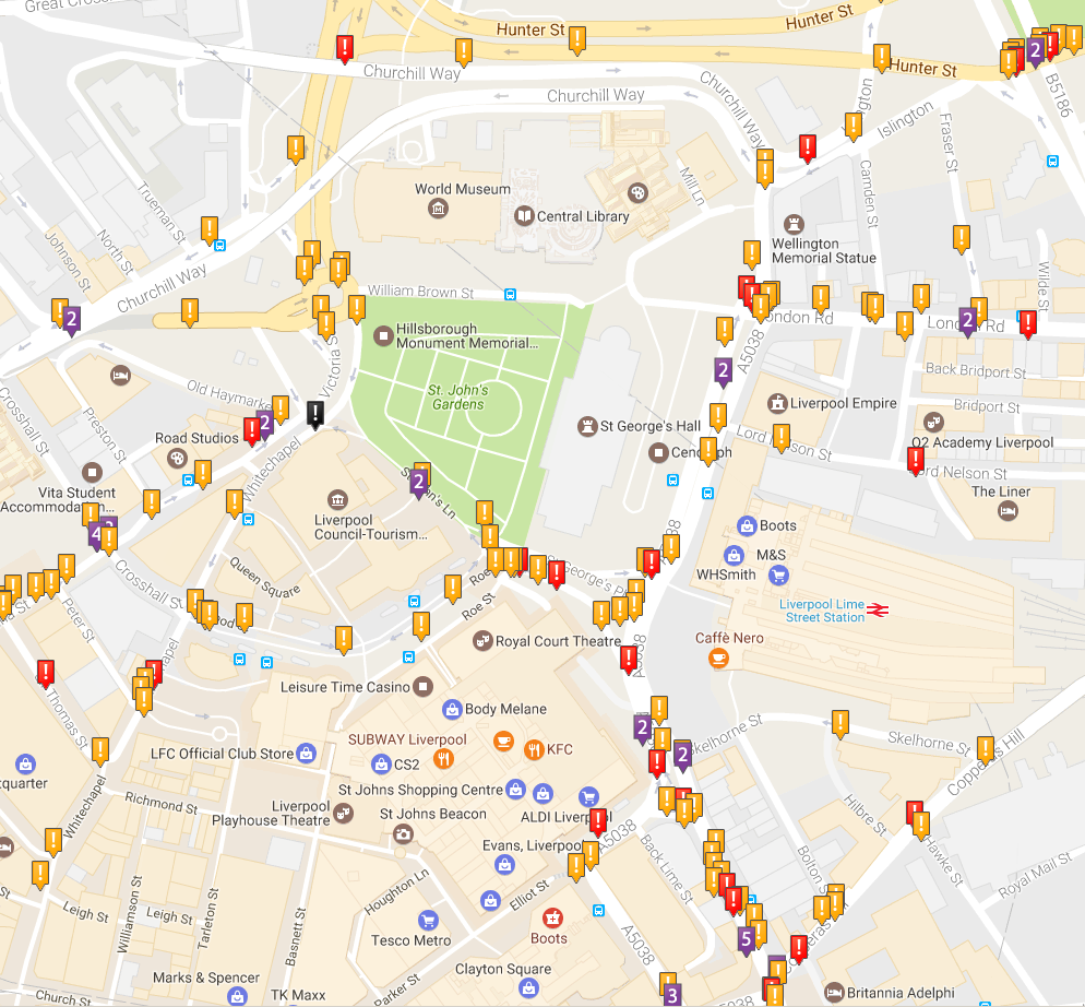
The locations of road casualties in Merseyside (and elsewhere) can be viewed on http://crashmap.co.uk/.
Enter your postcode, and you can see over 10 years of data of all road users, and all casualty types - and you can also select any combination of year, road user type and casualty type.
If you have the grid references of collision sites, they can be displayed on a map using http://gridreferencefinder.com.
Road casualty reduction
The study that found that London 20mph zones halved road casualty numbers: www.bmj.com/content/339/bmj.b4469.
Comments:
No comments have been made on this page.